SENIOR RESEARCH SCIENTIST EMERITUS
Cliff is a seismologist with an enduring interest in deep earthquakes, Texas earthquakes, moonquakes, and the statistical analysis of earthquake catalogs.
INTERESTS
earthquakes, tectonics
ACADEMICS
Ph.D., M.S., Cornell University
B.A., Grinnell College
CONTACTS
Email: cliff@ig.utexas.edu (preferred)
Phone: 512-471-6156
Curriculum Vitae
Publications
LETTERS FROM ANTARCTICA
In 2002, UTIG scientists, Fred Taylor and Cliff Frohlich led an NSF-funded project to study microplate motions in Antarctica using global positioning system (GPS) instruments. During the five-week field program Frohlich sent a series of letters and photographs to his friends and family describing what it was like to participate in this project. Read more at The Scotia Arc GPS Project (SCARP).
BIG LEAGUE EARTH SCIENCE
Cliff Frohlich narrated a film explaining the work of a geophysics research institute.
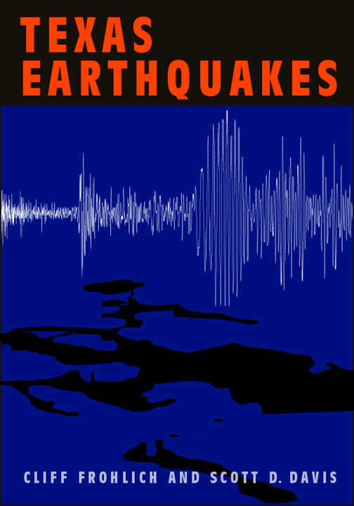
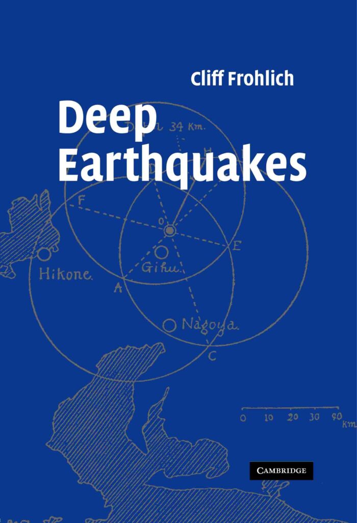
BOOKS