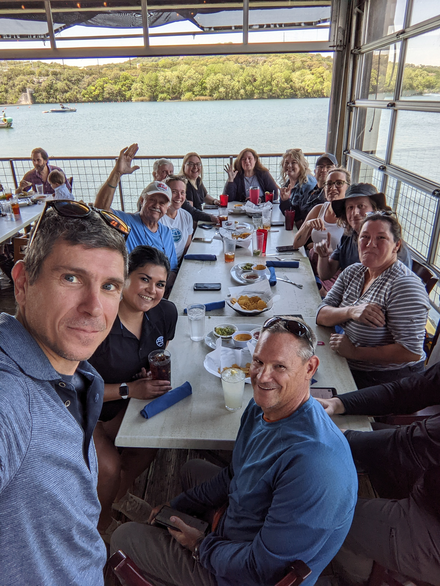
The University of Texas Institute for Geophysics called on reinforcements to help the City of Austin monitor the health of Austin’s lakes: the UTIG admin team!
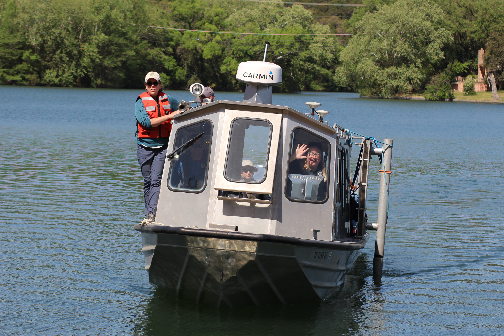
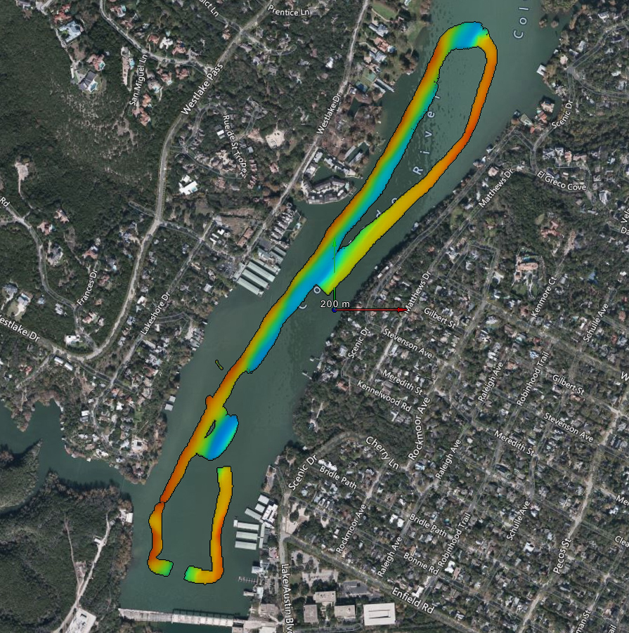
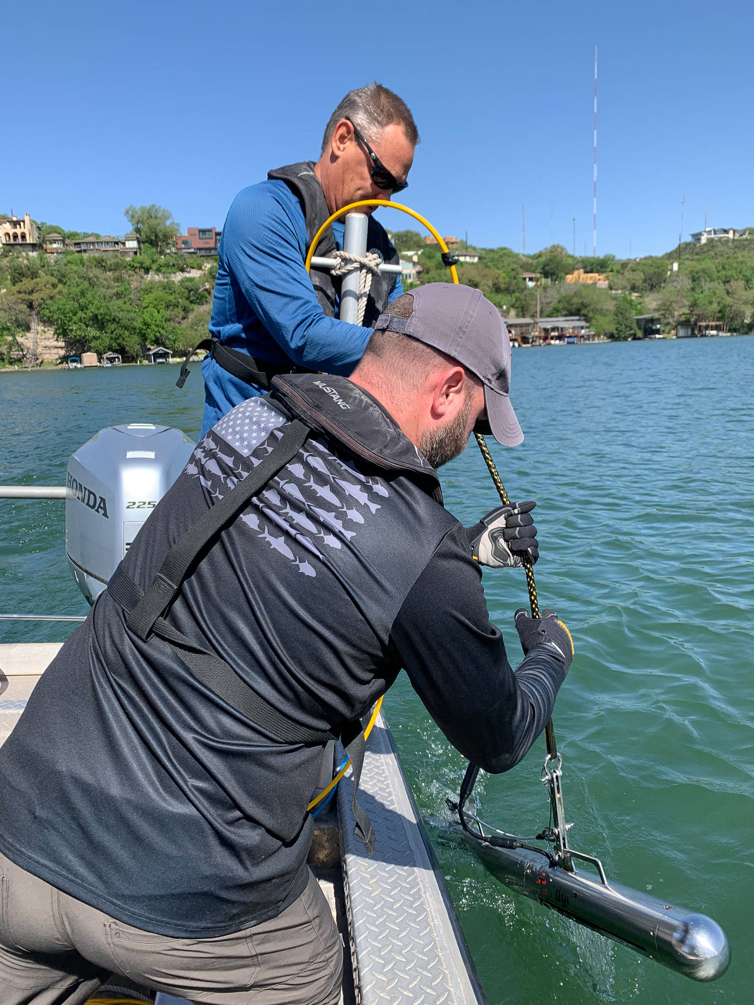
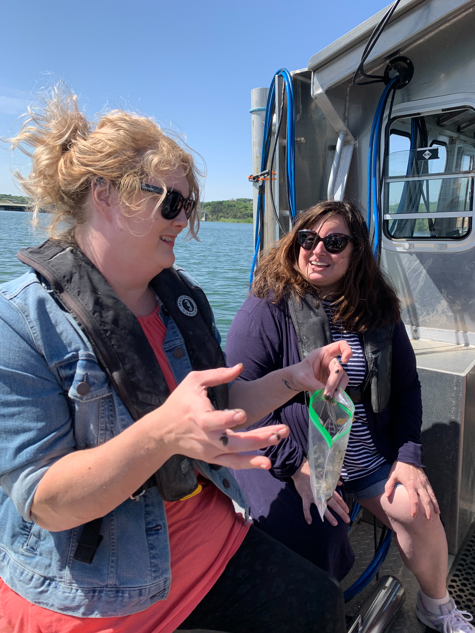
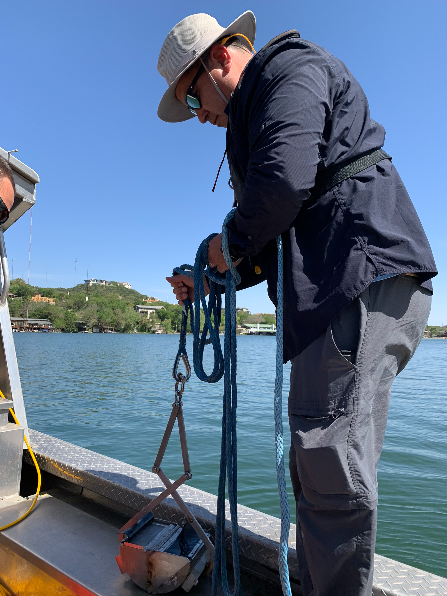
On April 14, the team joined researchers aboard the RV Scott Petty for a hands-on exercise in geophysics. The science demonstration had participants learning to use sonar and sampling sediments with a specialized scoop. The data and samples they gathered will contribute to a study aimed at helping local authorities respond to urban and climate pressures on Lake Austin.
UTIG’s head of personnel, Susanne Morrison, said she jumped at the chance to learn more about the research.
“It made the science come to life,” she said. “Now it’s not just something I read about. I was able to understand why the science matters and connect with scientists on a personal level.”
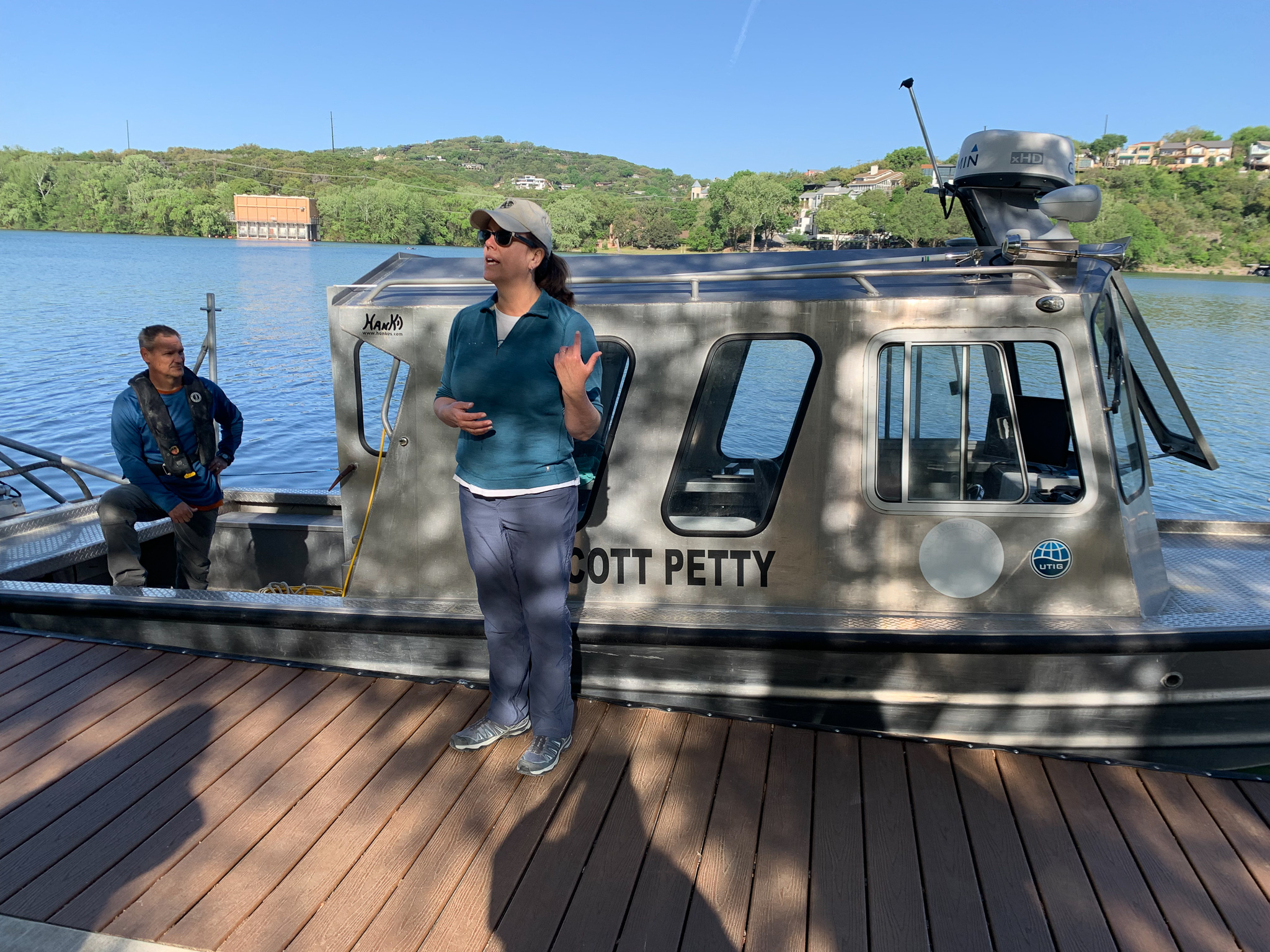
UTIG’s 26-foot research vessel, the RV Scott Petty, carries a suite of instruments for mapping and sampling marine environments. Scientists have deployed the boat to study hurricane damage along Louisiana’s coastline, find buried sand deposits offshore Galveston, Texas, and more recently, to track changes in Austin’s lakes. Funded by UTIG’s Blue Sky program, the project is led by UTIG engineering scientists Marcy Davis and Dan Duncan, and conducted in partnership with the City of Austin.
“It was super exciting seeing the equipment get put to use in one of our local lakes,” said senior research coordinator Angie Marable, who manages the finances that keep the boat afloat and its geosystems equipment running.
She said she also enjoyed seeing the interest the research piqued in others out on the lake.

“I especially remember the enthusiasm of a group of elementary- age kids who watched the research vessel as they passed by us in the lake,” she said. “Seeing their interest, I felt proud to be a part of UTIG and grateful for the opportunity to participate in Marcy and Dan’s research.”
Also on the boat was senior administrative associate Phyllis Gesch, who said the experience reminded her of field trips from childhood, “just far more interesting and hands-on!”
“I loved being part of actual science,” Gesch said. “Marcy and Dan are so informative and are clearly experts in their field, so it was very cool to be able to tap into their big brain energy. I want to be Marcy when I grow up!”
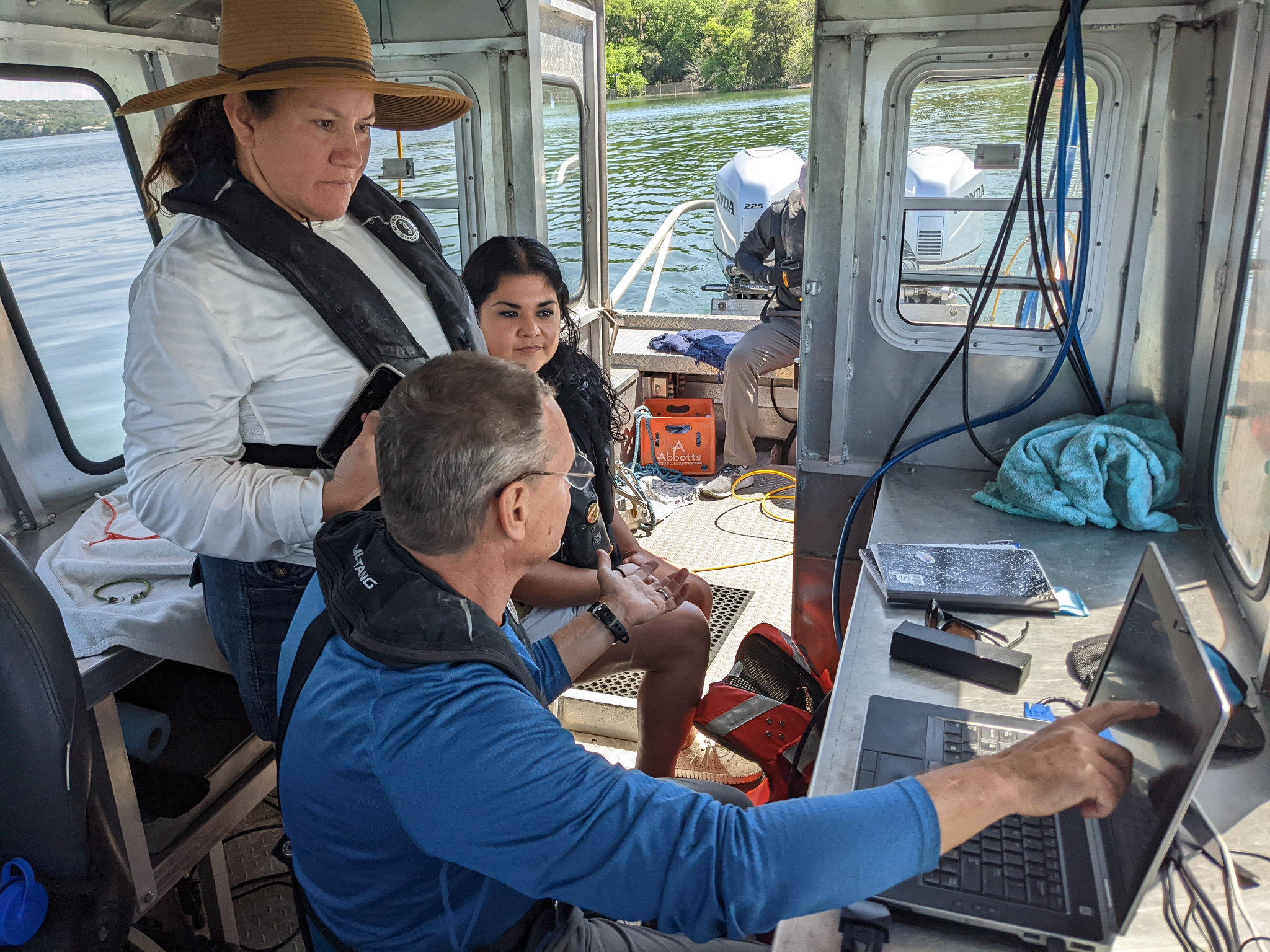
Not everything went to plan of course and like any other field expedition the team had to contend with setbacks and failure. One of the boat’s engines stalled and the team ran into issues displaying data on screen from one of its scientific sensors.
“The challenges of collecting good data were real and apparent,” said administrative services officer Benjamin Hester. “While equipment or boat malfunctions were surely frustrating for Dan and Marcy, for us they only served to foster an appreciation for their skill and proficiency.”

When things go wrong on research expeditions, Hester is often the first to find out because it’s his job to direct the institute’s resources (and even himself!) at solving the problem. So, whether it’s clearing ancient corals through customs or driving 100 miles to airfreight a replacement part for a scientific cruise waiting halfway round the world, Hester has handled dozens of last gasp solutions from afar.
But this was the first time for Hester to be right there in the thick of it. Nevertheless, Hester said that joining the researchers on the lake was about more than just experiencing UTIG field research firsthand.
“It was a rare chance to participate in a project and acquire data that will be used to address a real-world problem our home city faces. It was an unbelievable opportunity that lived up to every expectation,” he said.
Learn more about how UTIG and the City are partnering to protect Austin’s lakes: Austin Partners with UT to give City Lakes a Health Checkup
Check out our Flickr album for more pictures!